

























































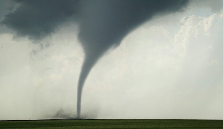
A tornado warning went out across southwestern Delaware County Wednesday evening after the National Weather Service in Indianapolis detected radar-indicated rotation in a severe thunderstorm moving east about seven miles west of Muncie. The warning, issued at 5:27 p.m., was set to expire around 6 p.m. and put Ball State University and surrounding communities on alert as the cell tracked toward the area at 15 mph.
The Gaston Volunteer Fire/EMS Department posted the alert to Facebook, noting the tornado warning for Delaware County and specifically flagging Gaston as within its path. The exact meteorological trigger and timeframe for the warned storm cell was confirmed by the Ball State Daily News, which reported that radar rotation was identified shortly before warning alerts reached students and county residents. The warning activated outdoor sirens on the Ball State campus and triggered automated notifications through the BSU Alert text system and Delaware County's Nixle emergency alert system, according to the same report.
A Second Warning Threatened Wind and Hail
The tornado warning wasn't the only severe alert in play Wednesday. A concurrent severe thunderstorm warning ran through 6 p.m. across northwestern Delaware County, cautioning residents in Gaston, Alexandria, Muncie, and Yorktown to expect wind gusts up to 60 mph and quarter-size hail, the station's report noted. Hours earlier, the weather service had also issued a countywide Flash Flood Watch warning of another 1 to 3 inches of rain falling on ground already saturated from earlier storms this month, per the same account.
If National Weather Service damage surveys confirm ground contact from the rotation observed west of Muncie, it would mark Indiana's 87th tornado of the 2026 severe weather season, according to the Indiana Weather Network, which said weather spotters reported brief ground contact during the storm. That count would sit against a much longer baseline: NOAA's Storm Events Database and historical archives, compiled by TornadoArchive, document 28 confirmed tornadoes in Delaware County dating back to 1680.
Compounding an Already Battered County
Wednesday's warning landed on a county still reeling from a brutal stretch of severe weather. An August 11 storm complex, preliminarily confirmed as a derecho, produced wind gusts of 65 mph in Gaston and forced flash flood emergencies across Delaware County, according to WTHR, which reported the complex dropped up to 10 inches of rain in parts of central Indiana. Governor Mike Braun issued a statewide disaster emergency declaration on August 13 after that severe weather, derecho conditions, and record rainfall prompted more than 350 emergency evacuations in Delaware County alone, per FOX59 News.
President Donald Trump followed with a Presidential Emergency Declaration for Indiana on August 15, authorizing FEMA support for emergency measures across 53 counties hit by severe weather and widespread flooding, according to WFYI. That federal action unlocked assistance for immediate life-safety operations at a moment when Delaware County's soils were already saturated and its infrastructure strained.
A Small Town Bearing Repeated Hits
Gaston, the rural Washington Township town at the center of Wednesday's alert, has a projected 2026 population of just 807 residents, according to World Population Review. The town relies on its volunteer fire and EMS department for public safety monitoring, and that same department has now posted severe weather warnings to the community twice within the same month — first for the derecho earlier in August, and again Wednesday for the tornado-warned storm cell.
The Ball State Daily News reported no initial signs of major structural destruction after the rotation passed west of Muncie and the warning expired. Delaware County's compounding weather emergencies — flooding, a derecho, and now a tornado warning within roughly a week — have placed sustained strain on local responders already managing saturated ground and active flood watches.





