

























































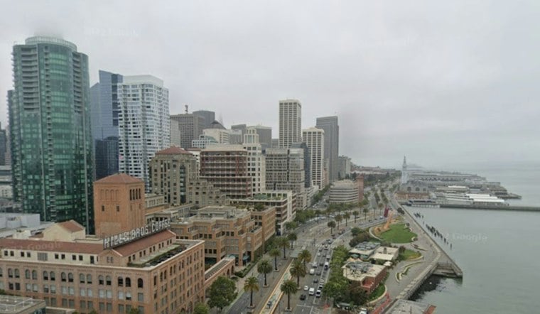
San Francisco is getting a brief Saturday breather before a rainy stretch, but the coastline is the place to avoid: temperatures will reach the lower 60s along the Pacific coast, with partly to mostly cloudy skies in the morning and cloudiness increasing during the afternoon and evening, while a High Surf Warning covers the Pacific coast through early Sunday. Early Saturday, temperatures were near 55 degrees, with a slight chance of light rain lingering before 8 a.m.
Stay Away From The Coast
The warning calls for breaking waves of 25 to 35 feet, with occasional sets reaching 40 to 50 feet at favored breaks. The National Weather Service cautions that sneaker waves, rip currents and wave run-up can overwhelm people on beaches, rocks, jetties and seawalls.
A Coastal Flood Advisory remains in effect through 6 p.m. Saturday as large waves could run up over beaches and seawalls onto adjacent infrastructure. People should stay out of the water, avoid jetties and piers, and never turn their backs on the ocean.
Saturday Dries Out Before Clouds Return
The morning rain threat should fade quickly, with partly to mostly cloudy skies in the morning and cloudiness increasing during the afternoon and evening, and a high in the lower 60s along the Pacific coast. Winds will remain light from the south and southeast, generally around 5 mph, while temperatures ease into the lower 60s during the afternoon.
Clouds will build again Saturday night, with a slight chance of rain after 5 a.m. Sunday and a low near 55 degrees. Southerly winds of 10 to 20 mph are expected overnight as the next system approaches, with gusts of 20 to 30 mph possible across the San Francisco Bay Area as the front approaches.
Rain Arrives Sunday And Returns Midweek
Rain is expected after 9 a.m. Sunday, with a high near 64 degrees and south winds of 9 to 15 mph, including gusts up to 23 mph. Sunday night should stay wet, with lows in the lower to mid 50s.
Monday brings a chance of rain before 4 p.m. and a high near 62, followed by a sunny Tuesday near 61 degrees. Rain returns Tuesday night and continues through Wednesday and Thursday, with Wednesday breezy and a high around 60 before another sunny, cooler Friday near 58.





