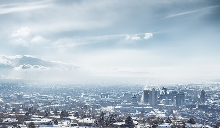
Residents of Salt Lake City should prepare to bundle up and stay vigilant on the roads as the National Weather Service (NWS) reports a mix of rain and snowfall on the horizon. Today's weather is expected to quickly shift from rain and snow in the morning to a slight chance of rain between 11 am and 5 pm, and again a chance for rain and snow after the evening glow wanes. "Little or no snow accumulation expected," as per the National Weather Service, delivering a slight respite for commuters.
The NWS warns that tonight will possibly see a slight chance of rain and snow before 8 pm, clearing up as the clouds part to reveal a partly cloudy night with lows dipping around 28 degrees. What follows is a sunny Monday with highs cresting near 44 degrees, providing a break in the precipitation before another slight chance of rain and snow arrives later in the evening.
As the workweek continues, Tuesday is looking overcast with rain and snow likely before 11 am and a potential continuation of rain throughout the afternoon. With the high hovering near 45 degrees, any snowfall should be minimal, with less than a half inch possible. The rest of the week, according to the NWS outlook, is painted in strokes of mostly sunny skies and clear nights until next Saturday boasts a pleasant high near 50 degrees.
For those commuting, it's important to remain prepared for the changing conditions. Visibility can drop quickly in snowy conditions, cautions the NWS. Wednesday and Thursday are set to emerge sunny with highs in the low 40s and nightfall bringing lows into the mid-20s. As we steadily progress through the week, the icy grip of winter appears to slowly loosen, promising more temperate days ahead for Salt Lake City denizens.


.jpg)