The National Weather Service in Indianapolis has issued alerts indicating a complex weather pattern unfolding over central Indiana, which includes the possibility of brief freezing rain late this afternoon and early evening, particularly for areas including Lafayette, Kokomo, and Muncie; as the region grapples with a volatile mix of rain, thunderstorms, and fluctuating temperatures over the coming days. According to the NWS forecast, this precipitation is due to an upper level disturbance and an approaching warm front, with chances of rain at 30 percent today, turning into a 100 percent chance of rain and potential thunderstorms tonight.
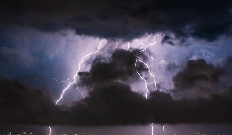
An advisory from the NWS' Special Weather Statement warns that "The rain may begin as freezing rain across northern Central Indiana, including the cities of Lafayette, Kokomo, and Muncie," with minor icing of less than 0.05 inches mainly anticipated this evening, potentially leading to slick spots on roads and elevated surfaces, while tonight's temperature is expected to rise above freezing which could end the freezing rain threat. Despite the absence of severe storms, thunderstorms come with their inherent risks, "lightning is a threat with any thunderstorm," as the NWS cautiously reminds.
Looking towards the end of the week and beyond, central Indiana residents aren't quite clear of winter's grip yet, with the forecast announcing a chance of rain and snow late Friday night, and a possibility of snow again from Monday night through Tuesday, according to the Hazardous Weather Outlook. As the region oscillates between thaw and freeze, temperatures are likely to fluctuate, reaching up to 50 degrees on Thursday, then dipping into the 20s at night, with similar patterns expected to continue through the weekend.
The NWS' Hazardous Weather Outlook emphasizes the importance of community reporting in this time of erratic weather conditions, urging "Spotters are encouraged to report any ice accumulations on Wednesday," a collaborative effort that assists meteorologists in fine-tuning their predictions and ensuring public safety.


