Tuesday, February 24, 2026 — Indianapolis is in for a blustery but milder day, with a classic late‑winter mashup of morning chill, afternoon wind, and a small shot at some wintry mix overnight.
The day starts cold, with temperatures near 20°F at the airport, then rebounds to a noticeably milder afternoon high near 41°F. The tradeoff: south-southwest winds that will be anything but subtle, gusting into the 20 to 30 mph range.
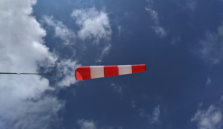
Afternoon Winds Pick Up
The strongest winds arrive this afternoon as mixing in the lower atmosphere pulls down faster winds from just above the surface. Gusts could climb into the upper 20s to around 30 mph, especially in open areas and along the interstate. Those bursts can make life tricky for high-profile vehicles and may send unsecured patio furniture or lightweight debris tumbling, according to the National Weather Service.
Travel And Outdoor Plans
If you are hitting the road or the runway, plan around the wind and the chance for a few wet flakes overnight. Keep an eye on airline notifications and local transit alerts before heading out. As of the Federal Aviation Administration, IND was reporting on-time operations, but that can change quickly, so check with your carrier for the latest.
On the roads, bridges, ramps, and exposed stretches of highway will be first in line for any slick spots late tonight if precipitation starts to mix in. A little moisture on a chilled surface is all it takes to turn a routine drive into a cautious crawl.
Late Week Rain And Snow Chance
A slight chance of rain and snow enters the picture late tonight between 11 p.m. Tuesday, February 24 and 5 a.m. Wednesday, February 25, mainly as light, spotty precipitation.
Precipitation becomes more likely Wednesday night into Thursday morning, from after 7 p.m. Wednesday, February 25 into Thursday, February 26. During that window, rain and snow are likely, with generally light accumulations expected. Most spots can expect new snow totals under an inch, but 1 to 2 inches cannot be ruled out north of the I-70 corridor. For the latest timing and accumulation details, check the National Weather Service.
What To Watch
Before the wind really ramps up, secure loose outdoor items, tie down lightweight furniture, and be prepared to ease off the gas on bridges and overpasses during the gustiest periods.
Keep a light jacket or waterproof layer handy for the evening commute, and check both the National Weather Service and your airline’s page before driving to the airport.


