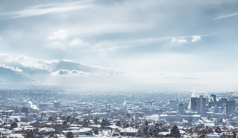
Salt Lake City residents are bracing for a chilly week ahead, with a forecast that includes a mix of cloud cover, light snow, and modest snow accumulations. According to the National Weather Service, today's weather will see widespread haze before 11 a.m., followed by mostly sunny conditions with a high near 40 degrees Fahrenheit.
Moving into tonight, there's a distinct 30 percent chance of snowfall expected, mainly after 2 a.m. The temperature is anticipated to drop to a low of around 22 degrees, and while calm winds early will come from the northwest at about 5 mph, fewer than one inch of new snow accumulation is possible. The weekend continues this trend with a 40 percent chance of snow on Saturday, mainly before 11 a.m.
As next week unfolds, Salt Lake City anticipates a mostly sunny observance of Martin Luther King Day, with a high near 27 degrees. As reported by the National Weather Service, the continued forecast points to a cold but stable weather pattern, with minimal snow accumulation and temperatures slowly climbing, reaching highs in the mid to upper thirties midweek.
Residents looking ahead to Tuesday can expect mostly sunny skies with a high near 33 degrees and a shift toward mostly cloudy conditions come nighttime, as the thermometer dips to around 18 degrees. Newcomers to the region as well-seasoned locals are equally advised to dress appropriately for the cold, with evening lows throughout the week staying well below freezing. Embracing the seasonal norm, Salt Lake City's residents seem prepared for what the winter weather has in store.


.jpg)